Tamarind Falls ©Yuriy Buriak
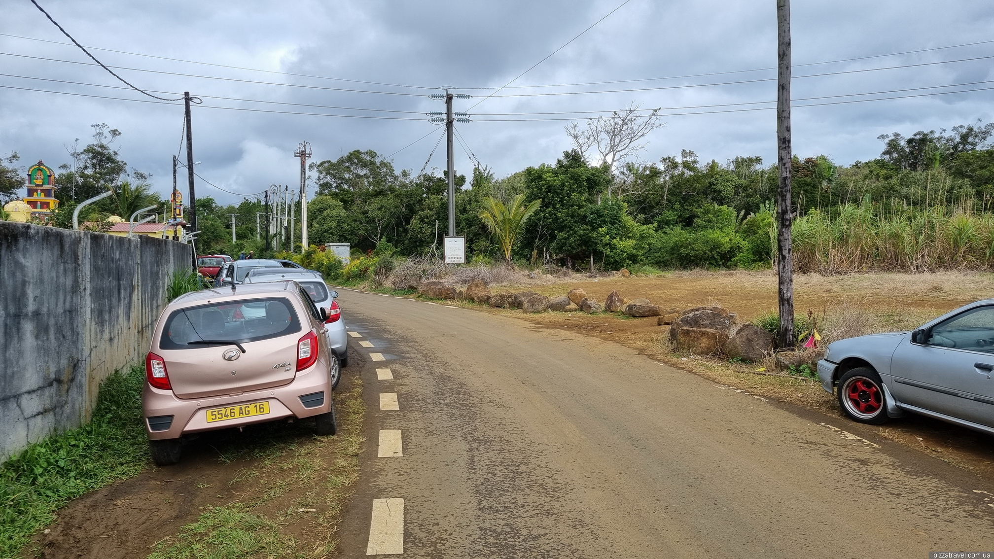
You can get here by car and park somewhere around here: -20.354194, 57.466611. There are not many places to park, so it is best to arrive early. Some locals offer to be your guide. It is up to you to decide whether you need a guide if you are familiar with maps.me. Walk across the fields and somewhere around -20.351889, 57.464472, the descent through the forest begins.
Tamarind Falls ©Yuriy Buriak
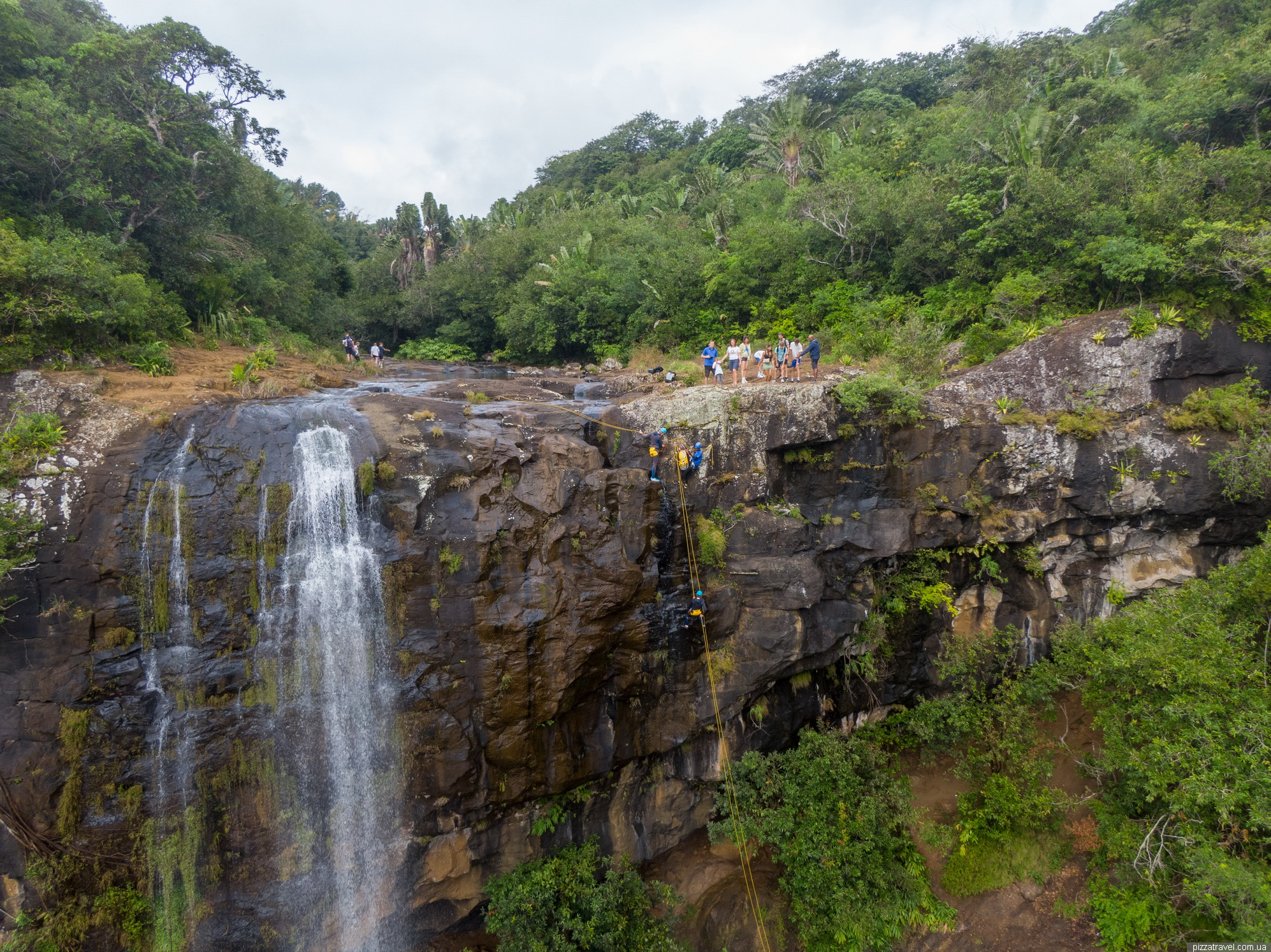
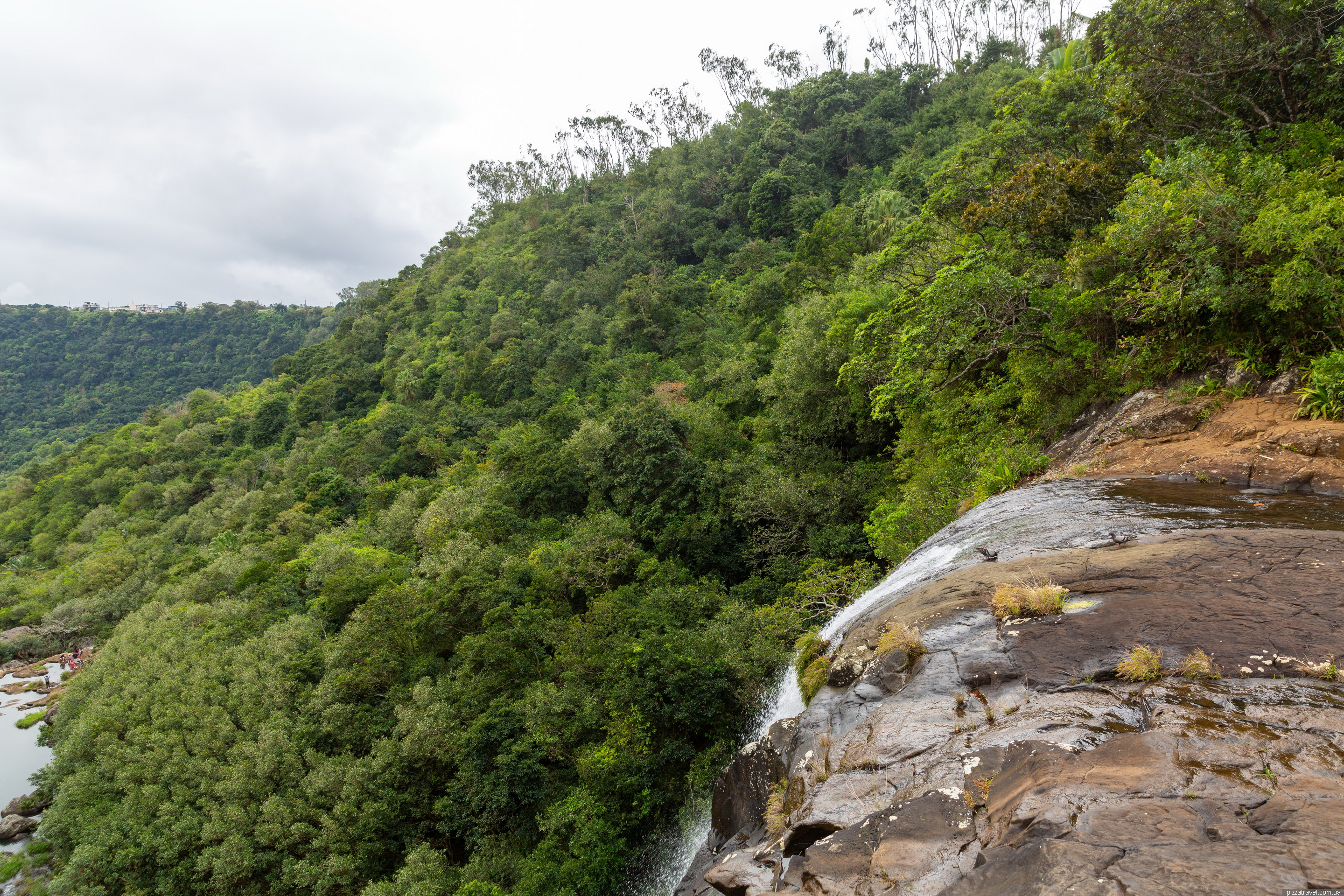
The descent is difficult, but if you don't rush, it is quite passable. We descended with our 5-year-old daughter and had no problems, but you need to constantly secure the child. We only descended to the first waterfall; rain was forecast further on, so we decided not to risk it and climbed back up. It can be quite dangerous there in rain or wet weather.
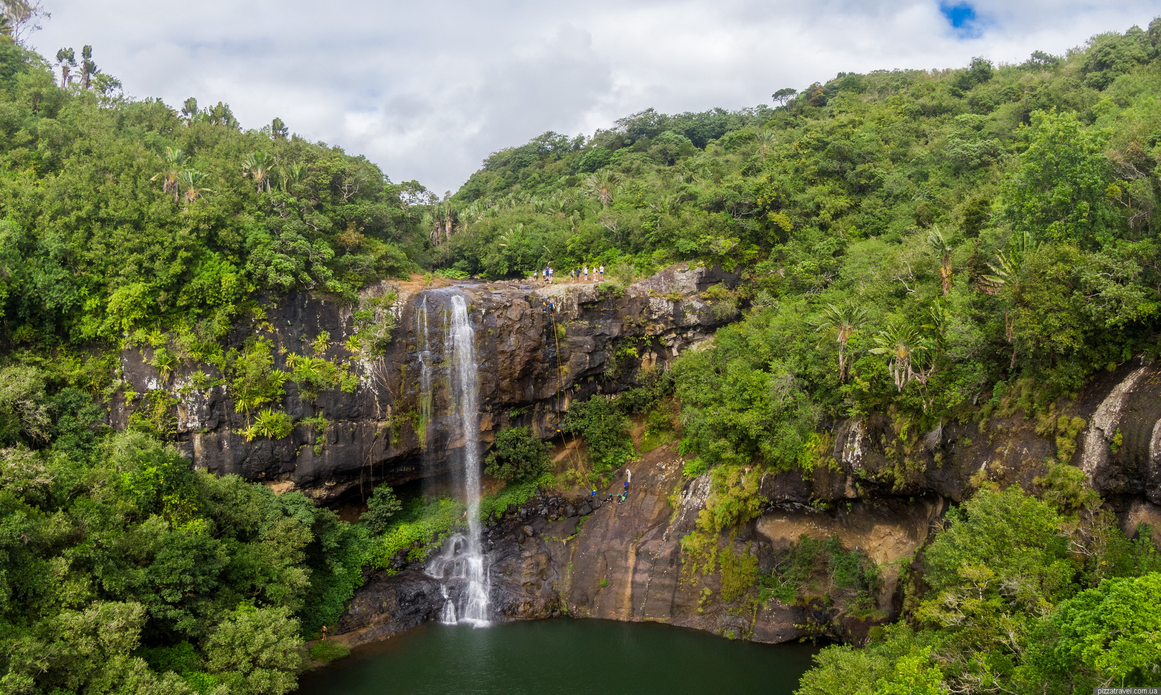
In the next photo taken from a drone, you can see that rock climbers also come here. If we had gone further, we would have passed under the first waterfall; the trail goes right behind it.
Tamarind Falls ©Yuriy Buriak
Tamarind Falls ©Yuriy Buriak
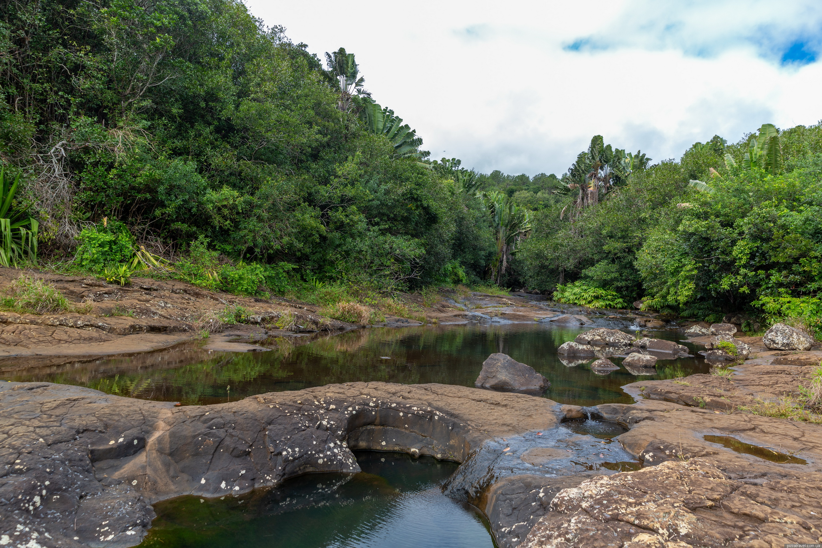
There was not much water in July, but in months with higher water levels, this area can be more dangerous.
Tamarind Falls ©Yuriy Buriak
Tamarind Falls ©Yuriy Buriak
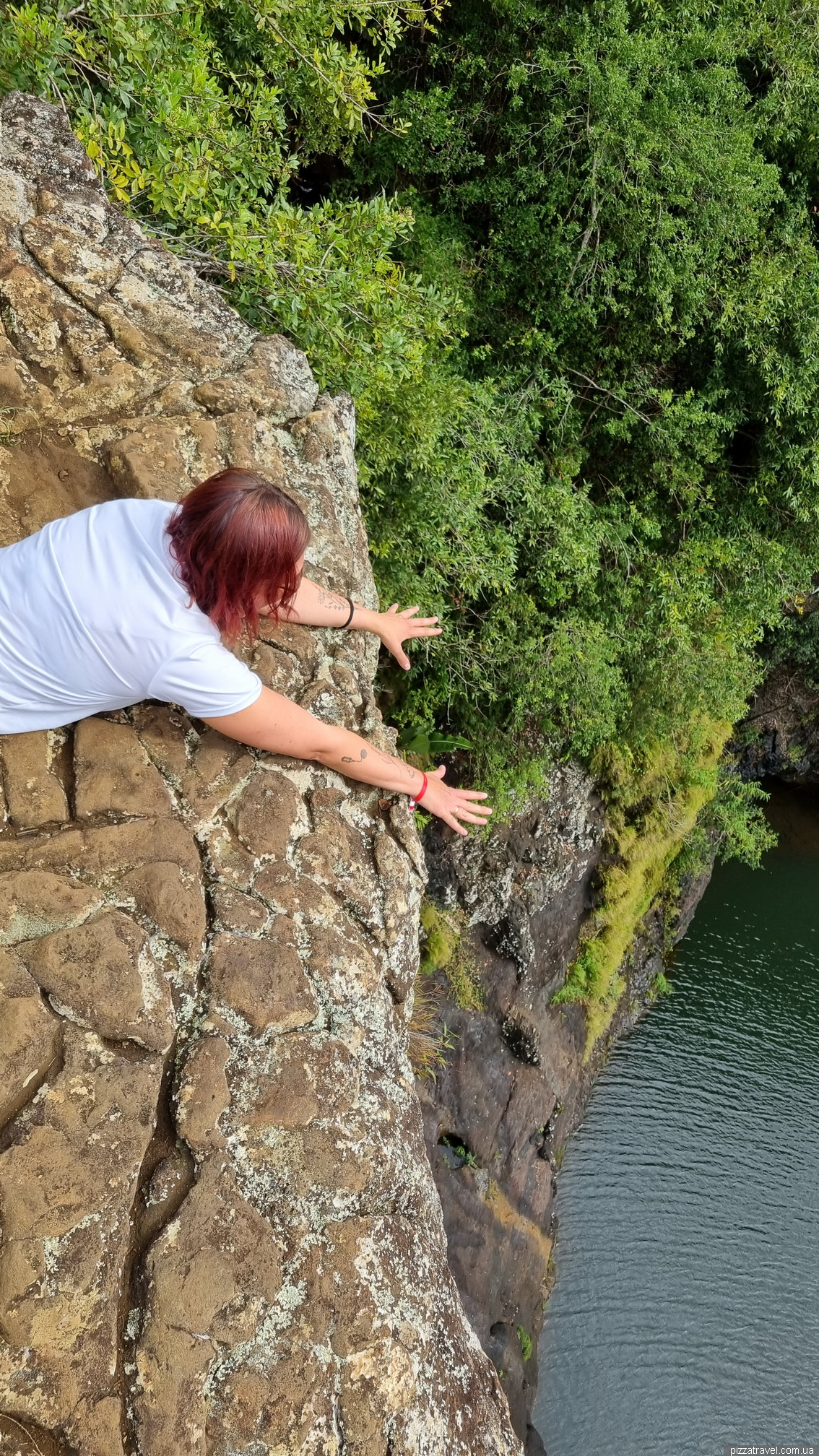
Tourists also love taking photos like this.
Tamarind Falls ©Yuriy Buriak
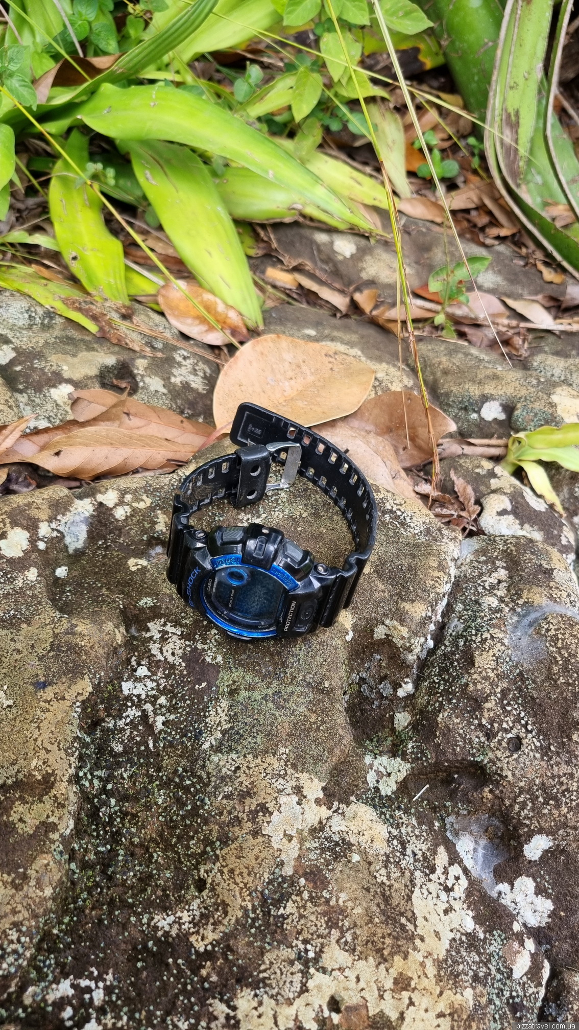
We found someone's watch and placed it on a rock there.
Tamarind Falls ©Yuriy Buriak